Browse All Resources
Intern Report
Browse All Resources
Intern Report
The Geography of Poverty and Race in New Jersey
10/14/2020

Download Full Report
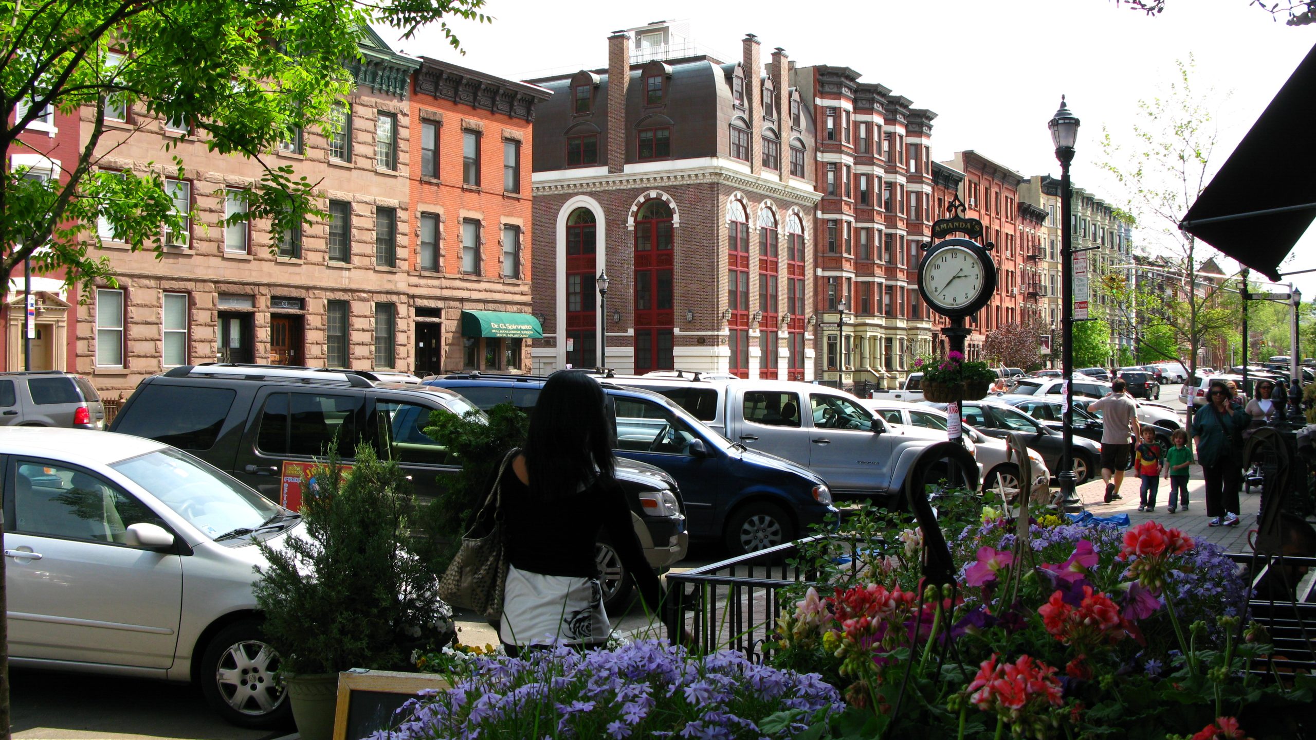
Despite New Jersey’s urban resurgence in the years since the Great Recession, and despite concerns about gentrification expressed in popular media, high-poverty neighborhoods have not gone away. Inspired by a study earlier this year by the Economic Innovation Group (EIG) that documented how concentrated poverty has continued to spread in the United States, New Jersey Future has performed a similar analysis of poverty in New Jersey over the last two decades, including an analysis of how the demographics of high-poverty neighborhoods have changed. Like the EIG study, we used census tracts to represent the concept of a neighborhood, and we defined “high-poverty” as having a poverty rate of 30% or higher.
Concentrated poverty has been on the rise in New Jersey in the last two decades, as is true nationally. In 2000, New Jersey had 110 high-poverty neighborhoods, representing 5.7% of all tracts in the state.1 In 2012, there were 134, or 6.7% of all tracts. By 2018, that number had risen to 145, or 7.2% of the total number of neighborhoods in the Garden State. It is true that some neighborhoods have transitioned out of poverty—45 census tracts exceeded a 30% poverty rate in 2012 but not in 2018.2 These are often found in places we think of as revitalizing urban centers, including Jersey City, Newark, East Orange, Elizabeth, Trenton, Perth Amboy, Asbury Park, Camden, and Millville. But they are outnumbered by neighborhoods that have transitioned into high poverty between 2012 and 2018, of which there are 56. It is very often the case that new high-poverty neighborhoods occur in different parts of the same cities in which other neighborhoods are transitioning out of poverty, a reminder that poverty is still a growing problem even in cities where “gentrifying” neighborhoods grab most of the headlines.
The overall story, however, is one of persistent poverty. From 2012 to 2018, 89 neighborhoods started out high-poverty and stayed that way. And not only are high-poverty neighborhoods a persistent problem, they also continue to be racially segregated. Majority-Black neighborhoods are much more likely to have poverty rates above 30% than is true statewide, with 33.2% of majority-Black neighborhoods also qualifying as high-poverty, compared to only 7.2% of all tracts. Similarly, 23.9% of majority-Hispanic neighborhoods are also high-poverty. Of all 145 high-poverty neighborhoods in the state in 2018, 42.8% were majority-Black and 35.9% were majority-Hispanic, while the total state population is only 12.7% Black (non-Hispanic) and 19.9% Hispanic.
With the percent of all neighborhoods having poverty rates of 30% or more gradually increasing, and with the percentages of majority-Black and majority-Hispanic neighborhoods that are also high-poverty both much higher than the statewide rate and growing faster, it is clear that poverty—and especially racially segregated poverty—is very much still with us and getting worse.
1 The total number of census tracts in the state was 1,944 in 2000, rising to 2,010 after the 2010 Census, as population increased and new tracts were defined.
2 Tract boundaries are redefined for each decennial Census, so 2000 Census tracts cannot be directly compared to post-2010 data in many cases, limiting trend analysis for individual tracts.