New Jersey Future Blog
Planning for Sea-Level Rise V: Overlay Zones
February 16th, 2017 by New Jersey Future staff
This series of articles was written by New Jersey Future intern Connor Montferrat.

Examples of overlay zones.
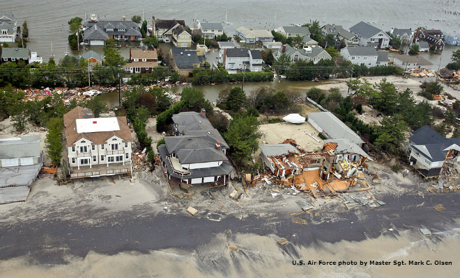
This is the fifth of a series of posts that will examine strategies being used in states throughout the country to reshape development patterns in response to risks posed by rising sea levels and a changing climate. The objective of the series is to present practical and tested adaptation and mitigation approaches that New Jersey communities might use to help respond to the growing threat presented by our subsiding and eroding coastlines, increasingly frequent and severe storms, and mounting flood risks.
This article considers the use of overlay zones to delineate and regulate areas at risk.
Overlay zoning is a regulatory tool that imposes special standards and criteria to the underlying base zone. Municipalities often use overlay zoning to protect special land uses such as cultural and natural resources.
Examples in Current Use
Overlay zones can be applied to regulate development and redevelopment in order to protect areas with unique natural resources such as beaches, wetlands, and barrier islands. They also can reduce development density and intensity, prohibit or restrict rebuilding, limit building size and density, and increase setbacks or buffers in flood-prone areas. Specifically, a sea level rise (SLR) overlay zone could extend the boundaries of regulated floodplain and provide for the relocation of development in highly vulnerable areas. Examples of coastal overlay zoning in other states include:
- The Chesapeake Bay Critical Area Law, passed in 1984, which created overlay zones to protect land and water resources within the Chesapeake Bay area. Land within the Critical Area is classified as Intensely Developed Area; Limited Development Area; and Resource Conservation Area. The Critical Area Law requires every local and county jurisdiction with land in the Critical Area to implement a Critical Area program through local ordinances, codes, plans, and policies. After adoption of the Law, counties and cities followed suit by adding new overlay zones and restrictions. Baltimore’s zoning ordinance establishes a Floodplain Overlay District and Critical Area Overlay District to protect the public view and public access, and require that landowners maintain conservation easements.
- Florida established Adaptation Action Areas (AAAs) or areas at risk of flooding from high-tide events, storm surge, flash floods, stormwater runoff, and related impacts of sea level rise. These AAAs are overlay zones that allow local governments to adopt policies and direct resources to increase resiliency efforts. A costal community can use the existing Coastal High Hazard Area boundary as a base for an overlay zone that accounts for storm surge. The AAA is a designation within the coastal management element of a local government’s comprehensive plan. The purpose of the coastal management element is to restrict development activities that would damage or destroy coastal resources and maintain, restore and enhance the coastal environmental zone. Strategies defined in the coastal management element could include retreat options, which usually involve acquisition of vulnerable land for public ownership, but may also include transfer and/or purchase of development rights, rolling easements, and/or conservation easements.
New Jersey’s communities can apply overlay zoning to shift development gradually from critical coastal fringe areas in order to protect and preserve fragile wetlands and marshes that currently offer storm surge protection and wave action mitigation.
Related Posts
 January 10, 2017 Planning for Sea-Level Rise I: Accounting for Damage
 January 10, 2017 Planning for Sea-Level Rise II: Redirecting Development
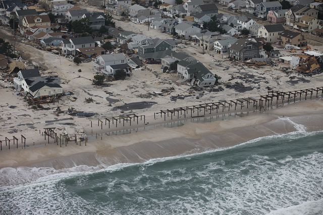 February 8, 2017 Planning for Sea-Level Rise III: Restricting Development
 February 8, 2017 Planning for Sea-Level Rise IV: Changes to Building and Site Standards
- September 6, 2013 Time for New Jersey To Be Smarter Than the Storm


